Matterport for Real Estate Marketing – Digitize, Measure, Showcase
Meta Venues combines cutting-edge Matterport LiDAR technology with AI-powered editing and professional drone piloting to deliver a new level of immersive property visualization and documentation.
AI-Powered Virtual Staging Cleanup
Our intelligent AI automatically removes furniture, fixtures, construction materials, and debris from your 3D models. This allows you to present clean, unfurnished spaces perfectly optimized for potential renters or buyers—without any manual editing effort.
360° Photography and Interactive Virtual Tours
High-quality 360-degree imagery creates an immersive experience that realistically showcases architecture and spatial layouts. Ideal for virtual showings, digital staging, and streamlined leasing processes.
Precise Measurement and Documentation in One Workflow
Get exact floor plans, area and volume measurements, and detailed architectural documentation simultaneously. This saves time and cost by integrating planning, marketing, and management within a single digital twin.
Your Ultimate Leasing and Sales Tool
Meta Venues’ digital twins are more than visuals—they’re powerful tools to lease or sell properties faster and more effectively. Impress clients with clear, professional data and compelling presentations.
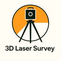
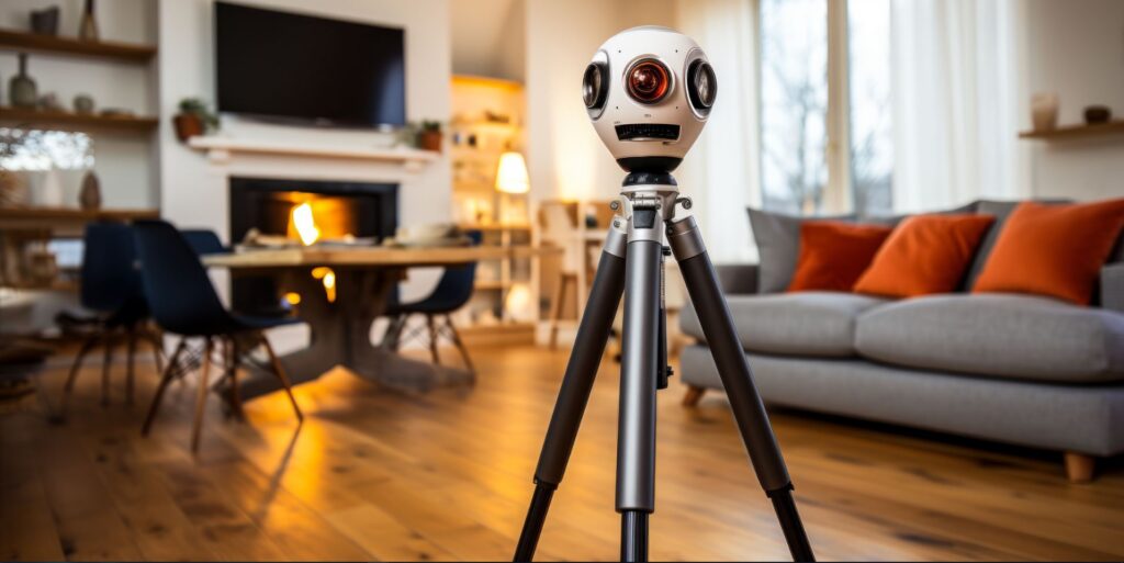
Measurement Accuracy with Matterport Pro3
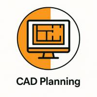
Typical Tolerances for CAD Planning
The Matterport Pro3 (Laser 5 Technology) delivers measurement accuracy that depends primarily on the distance to the scanned surface. To reduce vertical distortion, a tall tripod is used during capture.
Estimated tolerances for CAD models (based on point cloud data):
Distance Tolerance
Up to 10 m ± 20 mm (2 cm)
Up to 20 m ± 40 mm (4 cm)
In the virtual tour environment (via Matterport Web Viewer), the measurable accuracy is significantly lower. Deviations of up to ± 10 cm may occur due to mesh-based interpolation.
When is a high-precision laser scan recommended?
If your project requires a higher level of detail or tolerances such as:
• ± 0.4 mm at 10 m
• ± 0.8 mm at 20 m
we recommend a two-step approach:
1) Matterport Pro3 – for visual walkthroughs, 3D tours, and high-resolution photography
2) Additional high-precision laser scanning, using devices like the Leica BLK360 G2 or FARO Orbis, for true-to-scale geometry and BIM/CAD integration