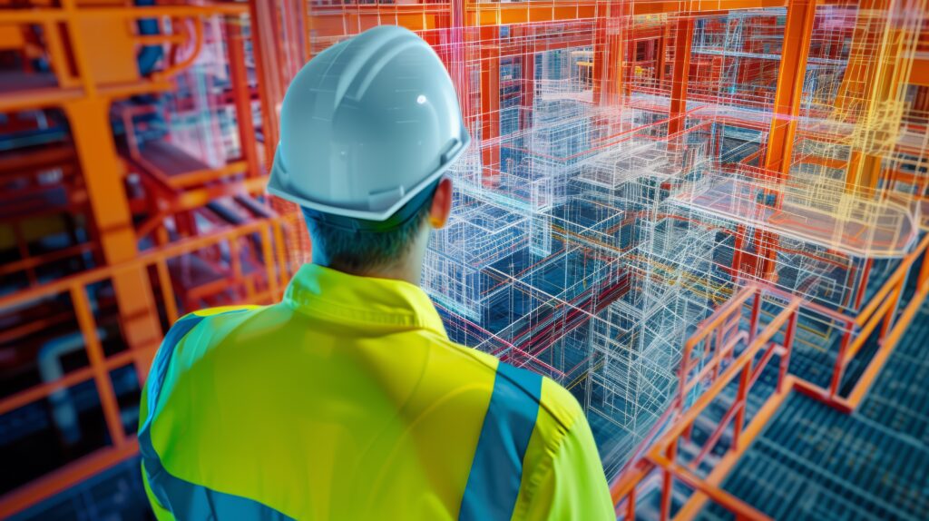
3D-Erfassung von Gebäuden
Our 3D capture and data integration services provide precise and reliable solutions for digitizing buildings and integrating them into CAD systems. These include:
- Laser scanning: High-precision recording of building data.
- Photogrammetry: Cost-effective method for surface detection
- Advanced measurement tools: Our precise measurement tools include laser scanners, handheld scanners, drones and photogrammetry, which enable precise distances and areas to be measured directly in the 3D model.
- Laser scanner:
- Application: Acquisition of high-precision 3D data for large and complex buildings.
- Advantages: High accuracy, fast data acquisition, ideal for detailed building models.
- handheld scanner:
- Application: Flexible scanning of smaller areas and hard-to-reach places.
- Advantages: Mobility, quick setup, ideal for smaller projects and follow-up measurements.
- Drones:
- Application: Aerial photography and surveying of large areas and buildings that are difficult to access.
- Advantages: Extensive data in a short time, ideal for outdoor areas and large terrain.
- Photogrammetry:
- Application: Creation of 3D models by analyzing drone photographs.
- Advantages: Cost-effective, ideal for capturing surface structures and details
- Photogrammetry for detailed 3D models.
- Laser scanner:
- data integration through point clouds
- A point cloud is a collection of three-dimensional coordinate points that represent the surface of an object or scene. It is created by measuring and recording reflections or echoes from laser beams or cameras. The point cloud serves as a raw data source for creating detailed digital models of buildings by providing the basis for reconstructing the geometric shape and structure of the object.
Advantages
- Precise geometry and shape of the object
- basis for detailed digital models
- integration into common CAD software